|
|||||||
|
|
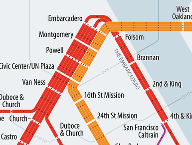
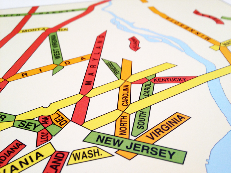
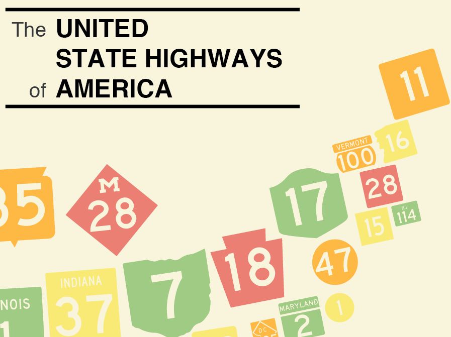
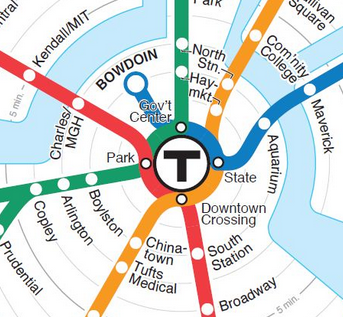
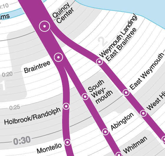
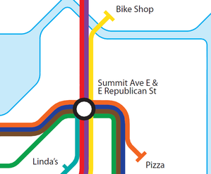
MapsSubways, streets, highways, buses, trains, and trails. Maps that show places a little differently.
 This work by Peter Dunn is licensed under a Creative Commons Attribution-ShareAlike 4.0 International License. |
||||||
|
|
|||||||
|
|||||||
|
|
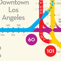
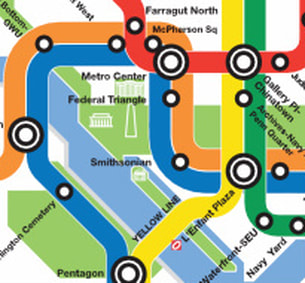
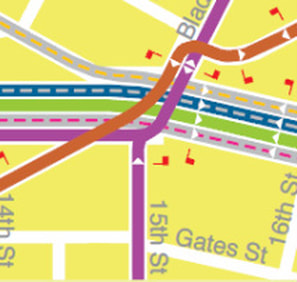
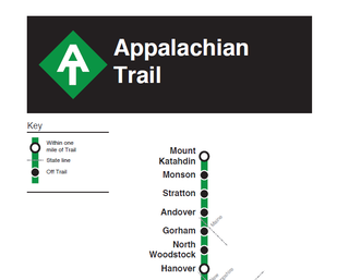
MapsSubways, streets, highways, buses, trains, and trails. Maps that show places a little differently.
This work by Peter Dunn is licensed under a Creative Commons Attribution-ShareAlike 4.0 International License. |
||||||
|
|
|||||||