|
|||||||
|
|
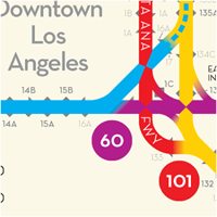
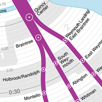
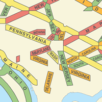
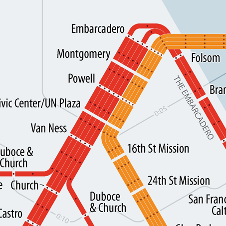
New ways of looking at how we get around.
Buses, trains, highways, and even hiking trails all look different here. Take a look at my maps, diagrams, and visualizations of Los Angeles, Boston, Washington, DC, and other places.
The designs on this site have been featured in local and national media and have been licensed for use in various real estate installations. A press run of my map of LA Freeways was supported by a successful 2013 Kickstarter campaign, and I shipped hundreds of prints across the country for the next eight years. I haven't made anything new in a while...but I don't think I'm done quite yet. You can use these designs. As of 2021, I am licensing all of my work for use, with attribution, under a Creative Commons license (CC BY-SA 4.0). You are welcome to print your own copies, and I hope some of you might also be inspired to build on this work with your own fresh ideas. |
||||||
|
|
|||||||